Southern Germany
Mountains, lederhosen, cuckoo clocks, huge steins of beer… but there’s more to Bavaria and Baden Württemberg than the stereotypes. And the motorcycle touring is off the charts
Germany’s Deutsche Alpenstraße (Alpine Road) offers some of the most memorable riding of any two-wheeled foray into Europe
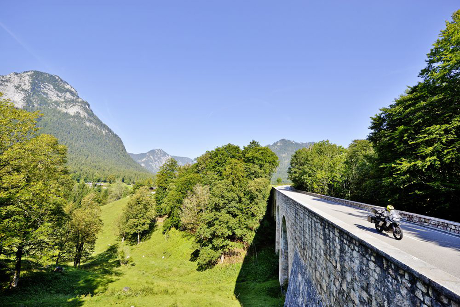
Today is going to be special. I can feel it from the moment we push the bikes out of the hotel garage. There’s that crisp early-September-in-the-mountains edge to the air and, as we ride out of town, the early morning mist still cloaks the meadows beside the road. But the sky is a deep, cloudless blue and the sun is warm.
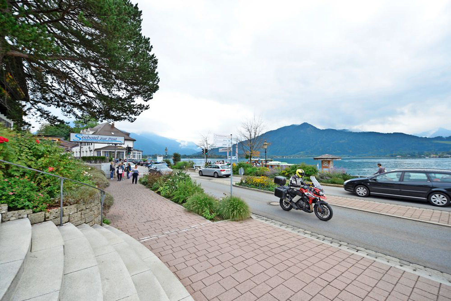
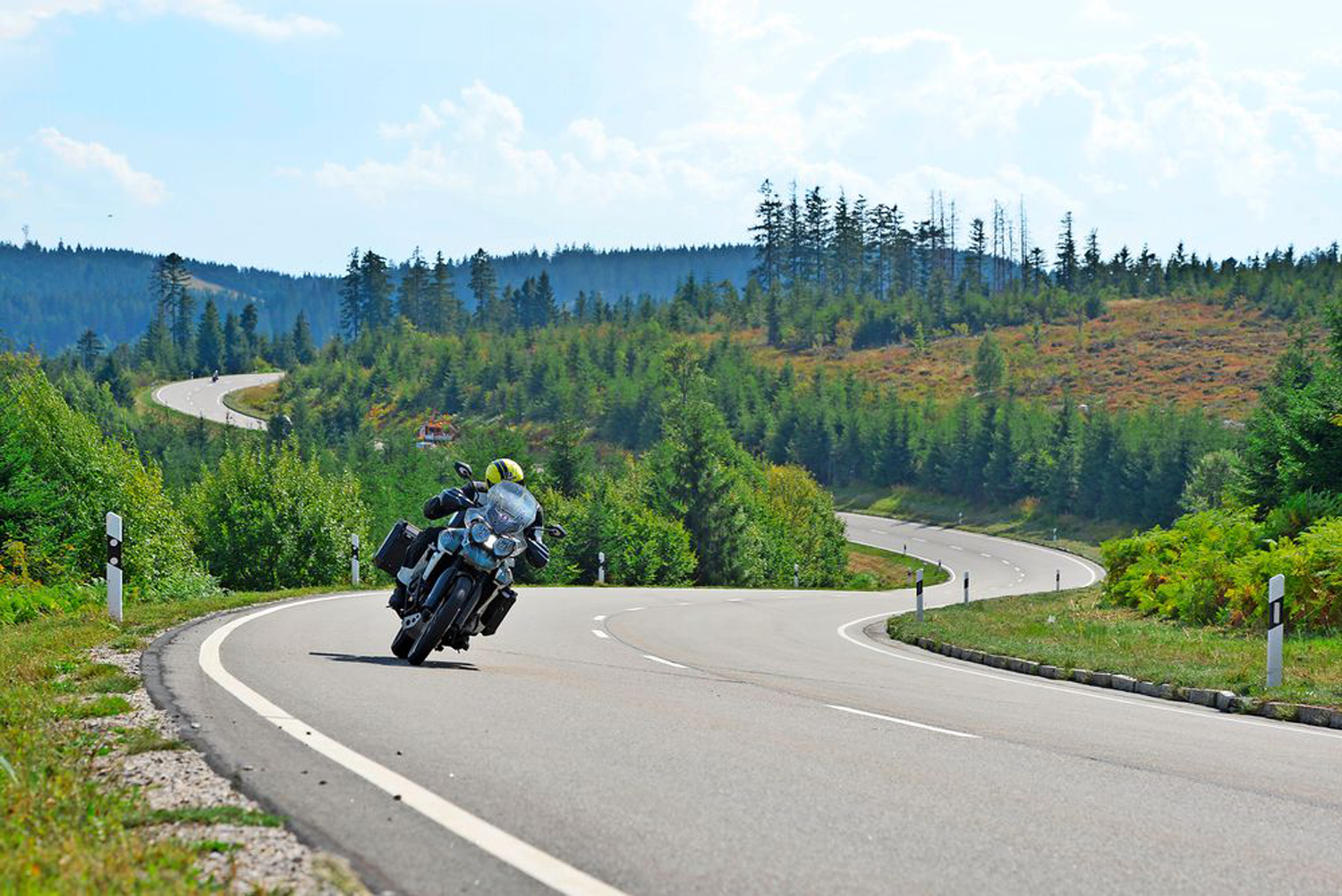
We’re in Bavaria, riding the DAS – the Deutsche Alpenstraße (German Alpine Road). The road is broad and smooth, well-painted and decorated with chevron boards on the tight bends and reflector boards on the open ones. It’s easy to read, easy to ride and easy to enjoy. By mid-morning, plenty of people are enjoying it: it’s a Sunday and there’s a mix of road users, with spirited sportsbikes and dawdling Fiat 500s at the extreme ends of the scale. Even so, it’s so easy to pick off overtakes when necessary that the ride flows effortlessly.
From Berchtesgaden we take the B319 and then the B999 spiralling up. I love it: a few hairpins but mostly it’s throwing out tight turns in left-right-left combinations like a sparring boxer. It’s pretty shady between the trees on the climb until we reach the top, where there’s a panorama point – but as it’s a Sunday, it’s quite busy so we don’t stop. Instead, we carry on, enjoying the amazing roads of the Bavarian Tyrol.
Please note: This page contains the motorcycle touring routes for The RiDE Guide To Germany and Austria which came free with RiDE magazine in August 2019. These website pages are not regularly updated, so please check all critical information before you travel. All route files are in .gpx format. Garmin and BMW users can download the main file, which contains all the routes. TomTom users can either download the individual routes or use the MyRouteApp (depending on the age of your device). For many routes we also have Google Map links. However, as Google Maps will not plot routes over seasonally closed roads, such as high Alpine passes when they’re shut, so these may not work for every route all year round.


